
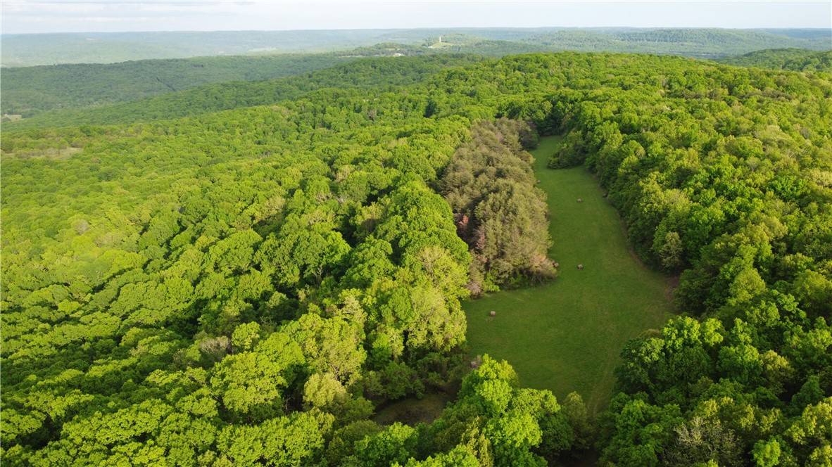


163 Acres Low Gap Rd West Fork, AR 72774
UPDATED:
Key Details
Property Type Vacant Land
Sub Type Mixed Use
Listing Status Active
Purchase Type For Sale
MLS Listing ID 1308342
HOA Y/N No
Annual Tax Amount $205
Lot Size 163.800 Acres
Acres 163.8
Property Sub-Type Mixed Use
Property Description
Location
State AR
County Washington
Direction From HWY 71 between Greenland and West Fork, go East on Mineral Springs Rd appox. 3.3 miles, veer right onto Low Gap Rd. Stay on Low Gap Rd approx. 2.5 miles then turn left onto Carter Powell Rd (private). Property will be first gate on the right.
Exterior
Fence Partial
Utilities Available Fiber Optic Available, Electricity Available
Topography Level,Rolling
Street Surface Gravel
Road Frontage County Road, Private Road
Building
Lot Description Hardwood Trees, Mobile Home Allowed, Other, Recreational, Rural Lot, Secluded, See Remarks, Level, Wooded
Water Not Connected (nearby), Public
Schools
School District Elkins
Others
Special Listing Condition None
Virtual Tour https://tour.nwarealtors.org/163-Acres-Low-Gap-Road-West-Fork-AR-72774/unbranded